Hazardous weather- heavy snow imminent this week
Feb. 1, 2022 PLYMOUTH VOICE.
Plymouth Michigan News
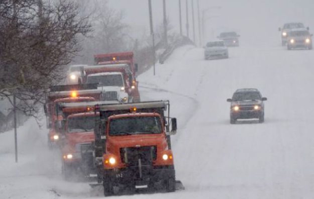
The National Weather Service says hazardous conditions are imminent as a fierce winter storm approaches southeast Michigan bringing dropping temperatures and rain turning to snow – continuing over a prolonged period.
Snowfall accumulation is estimated between 8 – 14 inches, with the southern counties closer to the Ohio border receiving the greatest amount of snow.
Forecasters say gusty winds from the north will contribute to blowing snow, making existing conditions worse.
A Winter Storm Watch is in effect from Wednesday morning through early Thursday.
Tuesday night:
Rain before 3:00 a.m. then rain and snow. Low around 30. South wind 6 to 11 mph becoming west after midnight. Winds could gust as high as 21 mph. Chance of precipitation is 100%. New snow accumulation of less than one inch possible.
Wednesday:
Rain and snow, becoming all snow after 8:00 a.m. The snow could be heavy at times. Temperature falling to around 29 by 5:00 p.m. North wind 6 to 10 mph. Chance of precipitation is 100%. New snow accumulation of around 5 inches.
Wednesday Night:
Snow. The snow could be heavy at times. Low around 20. North wind 11 to 13 mph, with gusts as high as 21 mph. Chance of precipitation is 100%. New snow accumulation of around 4 inches.
Thursday:
Snow likely before 8:00 p.m. Mostly cloudy, with a low around 8. Chance of precipitation is 70%.
Plymouth Voice.